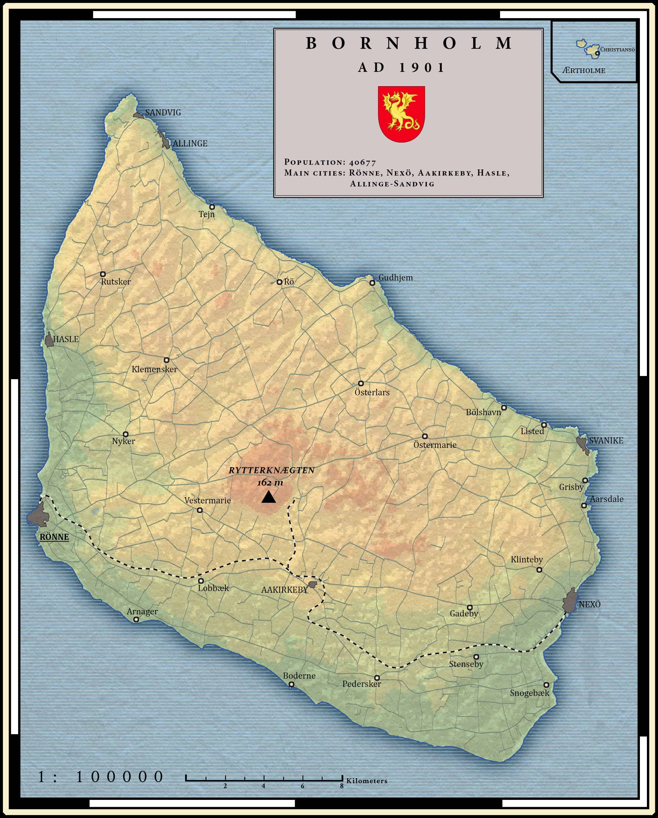
One of my first map created without vector graphics editor. Only GIMP was used here. It wasn’t a good choice because almost every line here is traced by hand (or rather with mouse). It was just before I discovered how to use geospatial data in vector graphics editors which helps a lot with already traced and georeferenced data.
To create this map I used few map depicting the island around AD 1900. Little has changed since then. Population is almost the same and every settlement still exists.
The railroad visible in the southern part of the island is not operating anymore. It was active from 1900 to 1968.