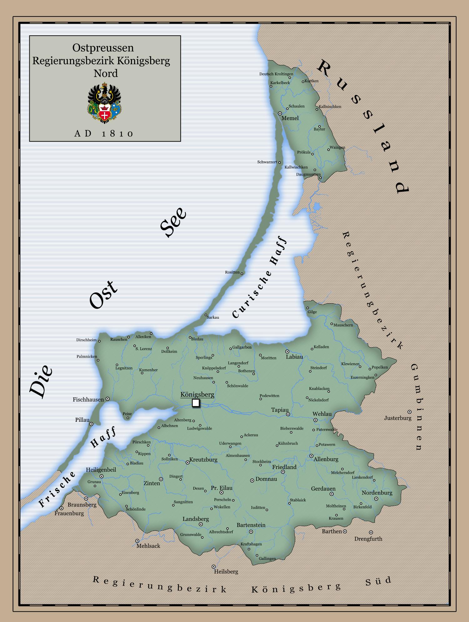
East Prussia (Ostpreußen) was a province of the Kingdom of Prussia and later of the Weimar Republic. Now, this region is divided between Lithuania, Russian Federation, and Poland.
The map was made in a style to look like from the 19th century. I found a few maps showing this region 200 years ago, so I decided to merge them, and here’s the result. To make it look more credible - it’s in German.