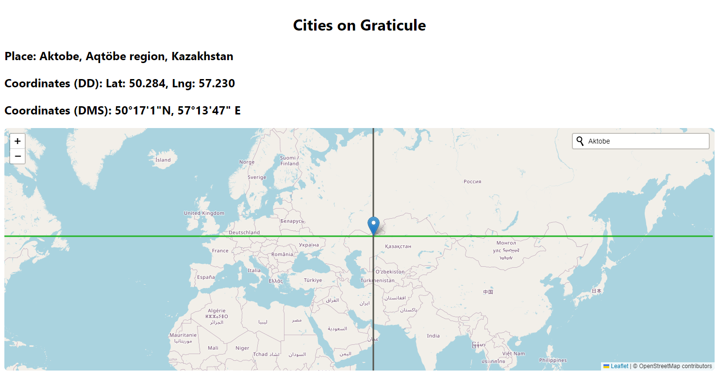
Tiny cartography-related project. I wanted to display meridian and parallel for a given points. Why? To see that some points (cities) are not so north (or south) compared to others. To have a better view on what is places on similar latitude. For example:
- Montreal (Canada) has the same latitude as northern Italy or Croatia,
- There is practically nothing in North America above the latitude at which Stockholm lies,
- If you go from Buenos Aires (Argentina) straight north you won’t reach US.
And so on. These facts might not be interesting for someone not interested in geography.
This project was created to satisfy my curiosity and get to know the Svelte ecosystem better. And to work with the Leaflet library. There is a potential to add other functionalities.
Created using:
- Svelte
- Vite
- Leaflet
- leaflet-control-geocoder